Property Type:
Land
Lot Size (sq. ft.):
453,024
Status:
Active
Current Price:
$149,000
List Date:
4/28/2026
Last Modified:
4/28/2026
Overview
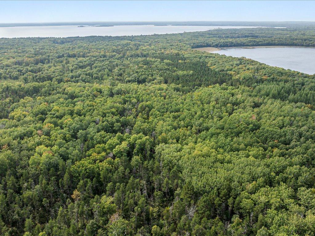
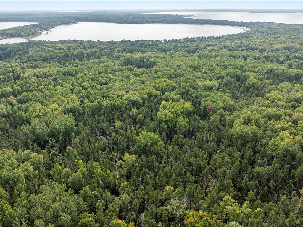
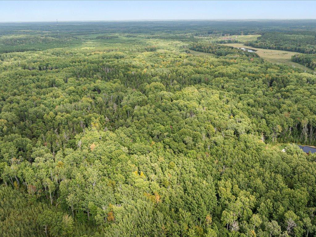
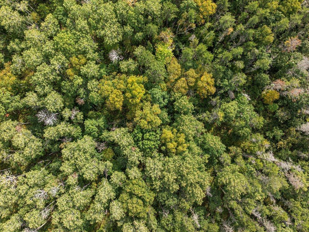
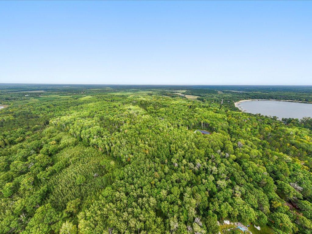
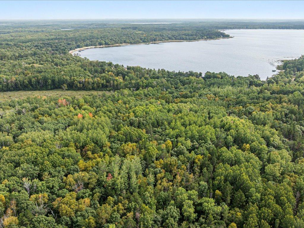
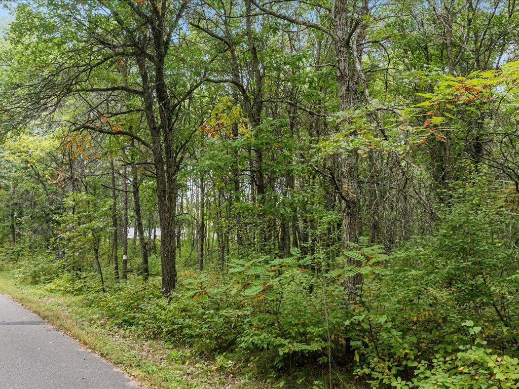
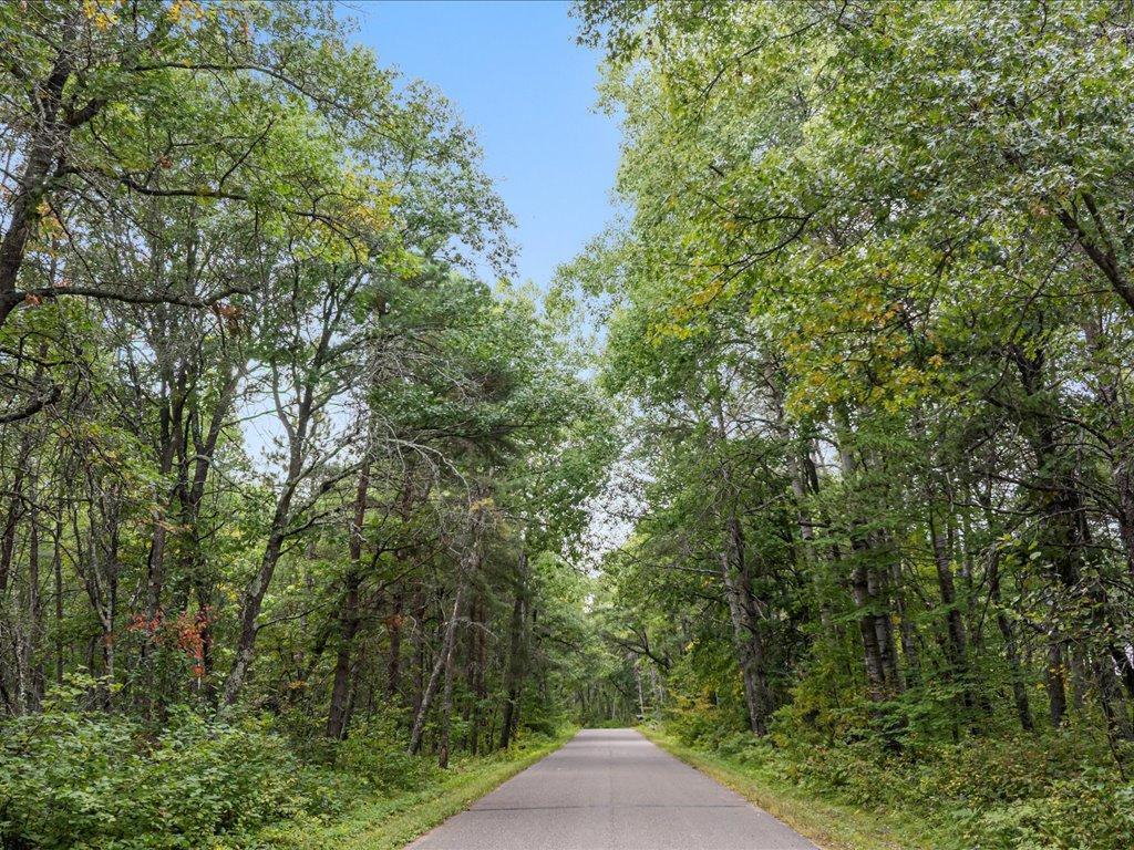
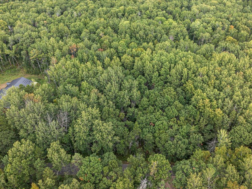
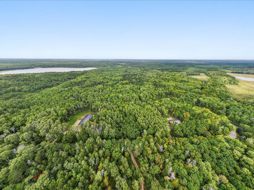
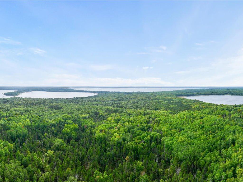
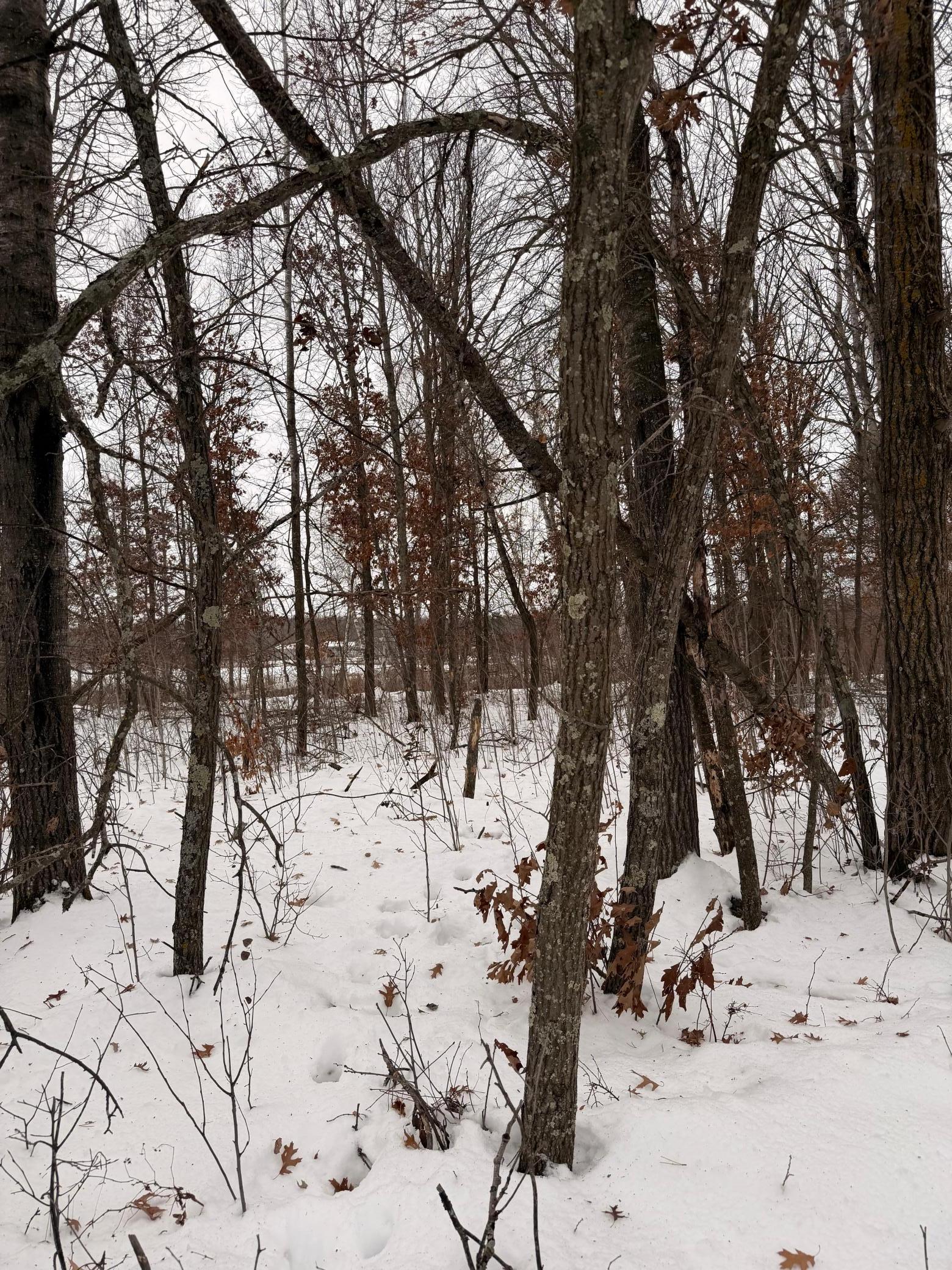
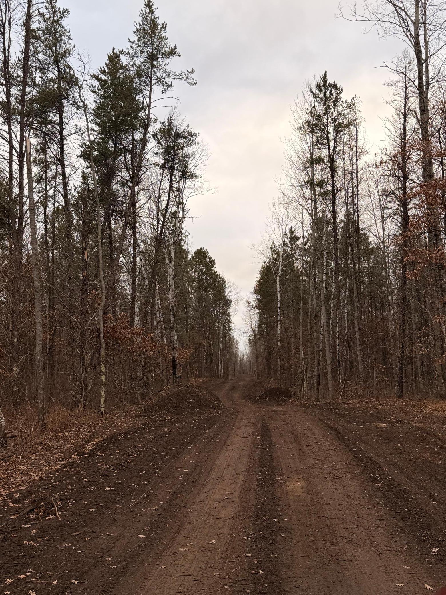
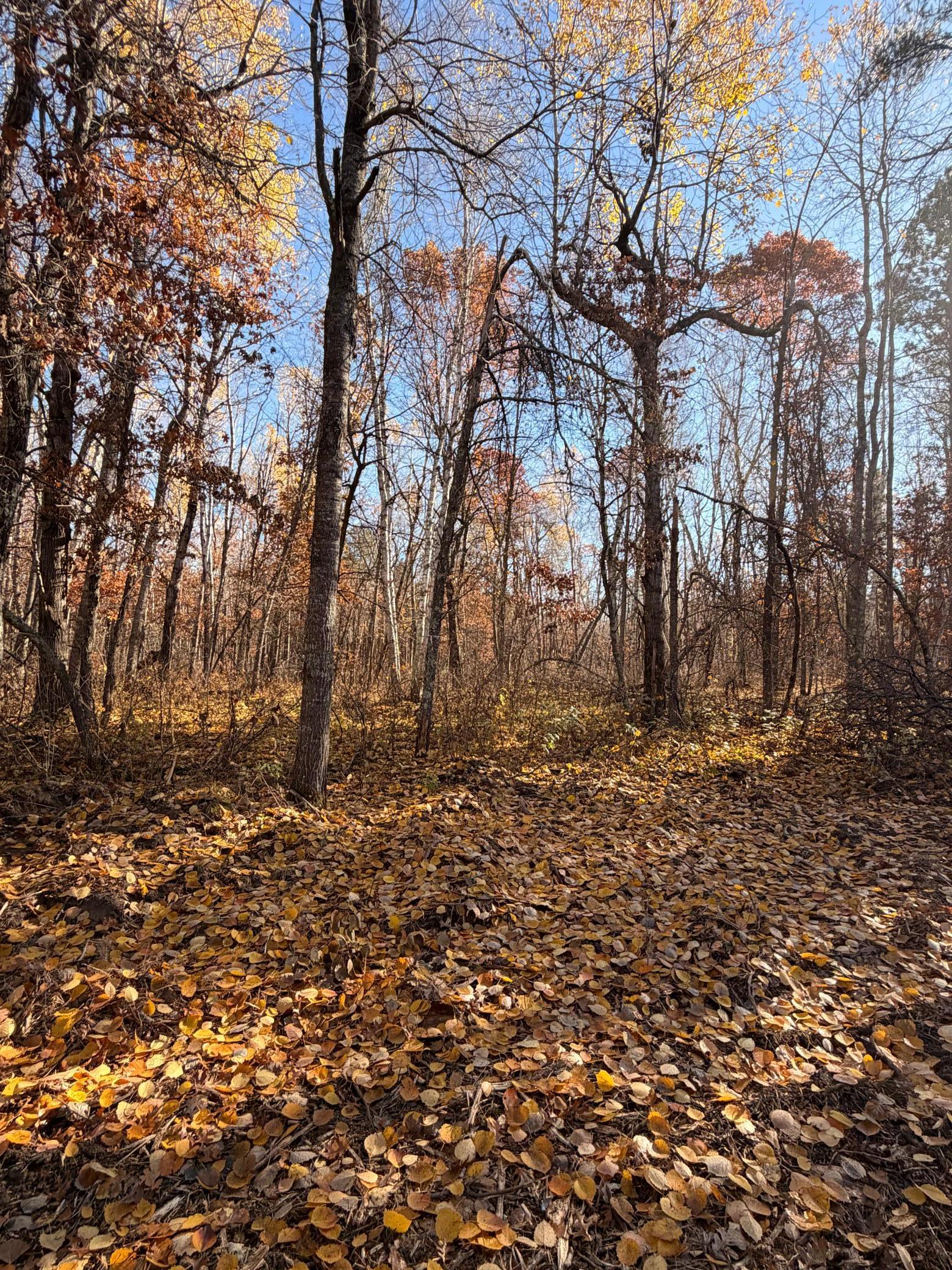
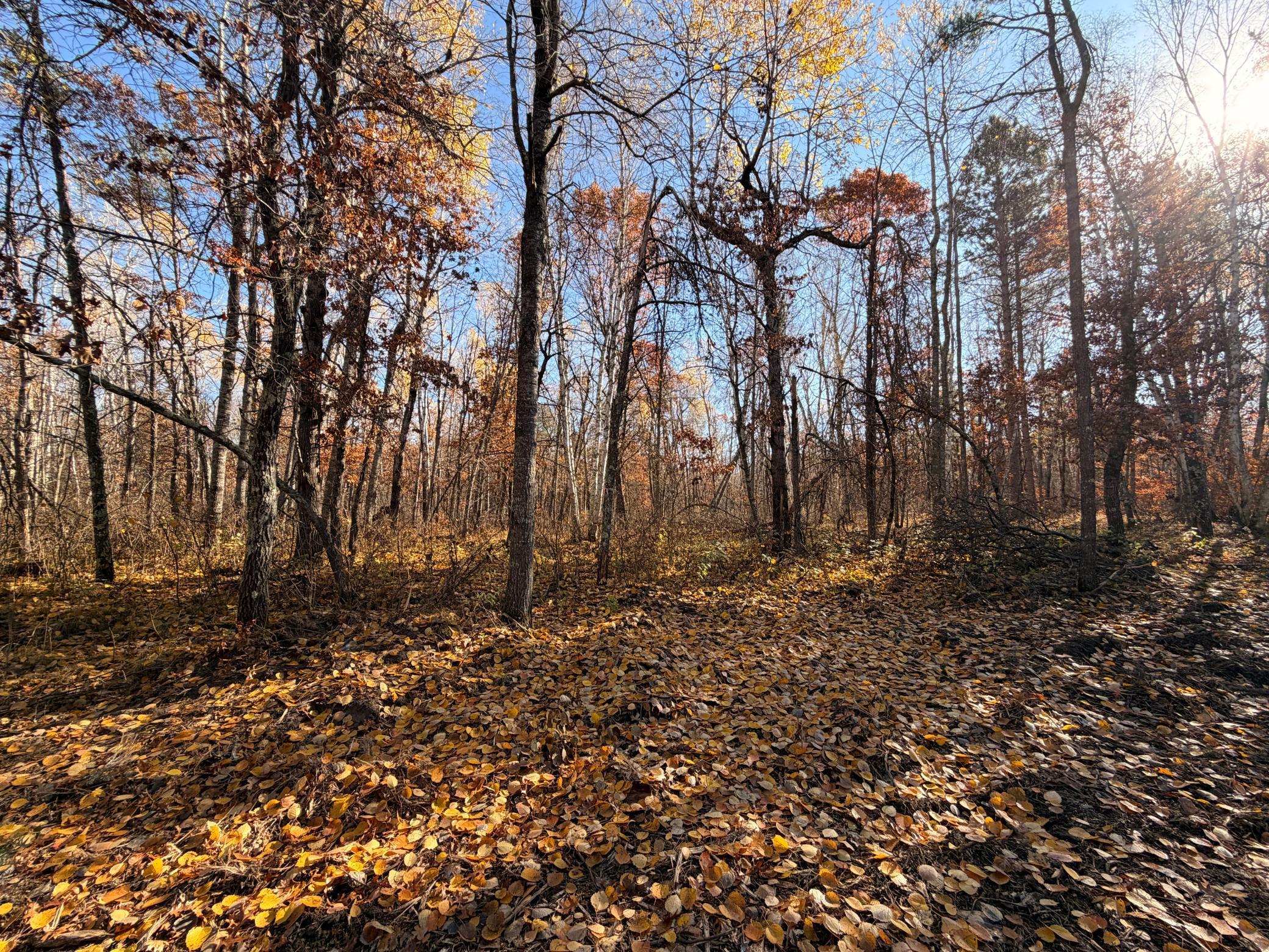
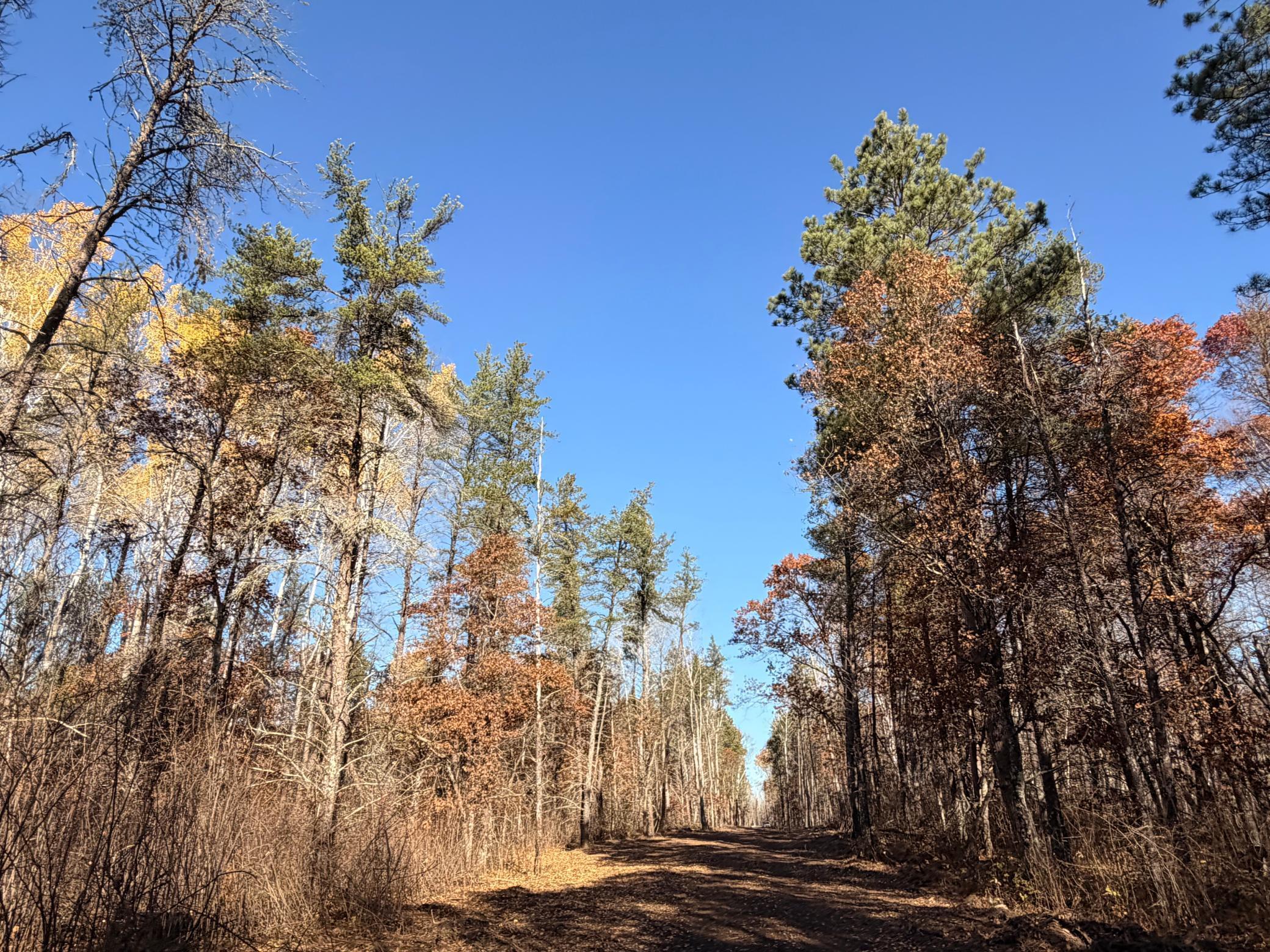
Description
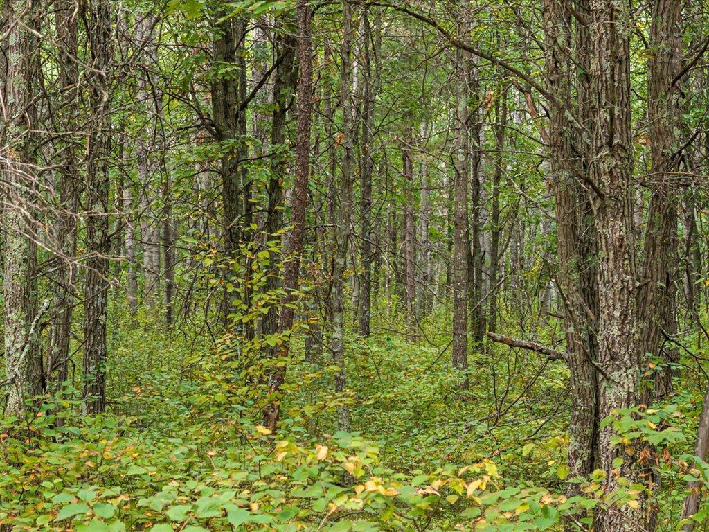
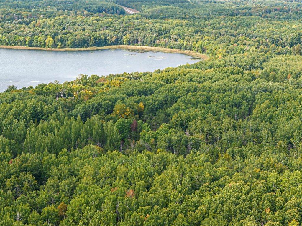
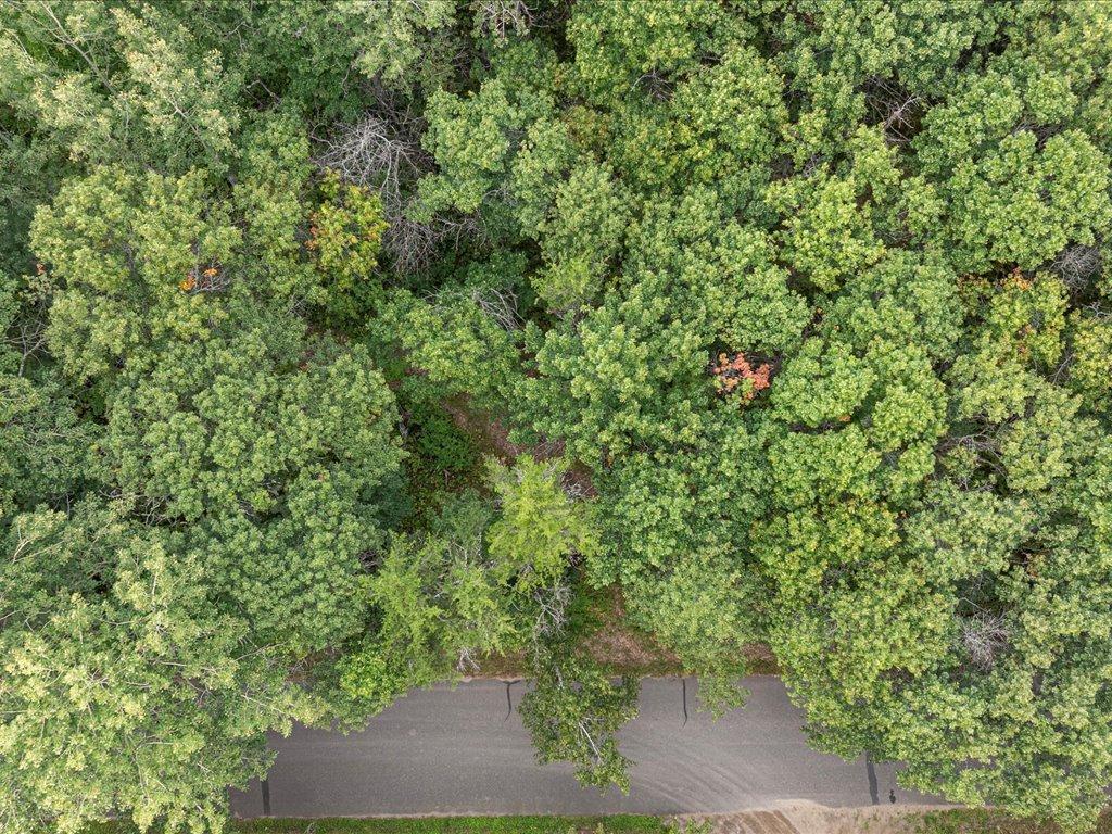
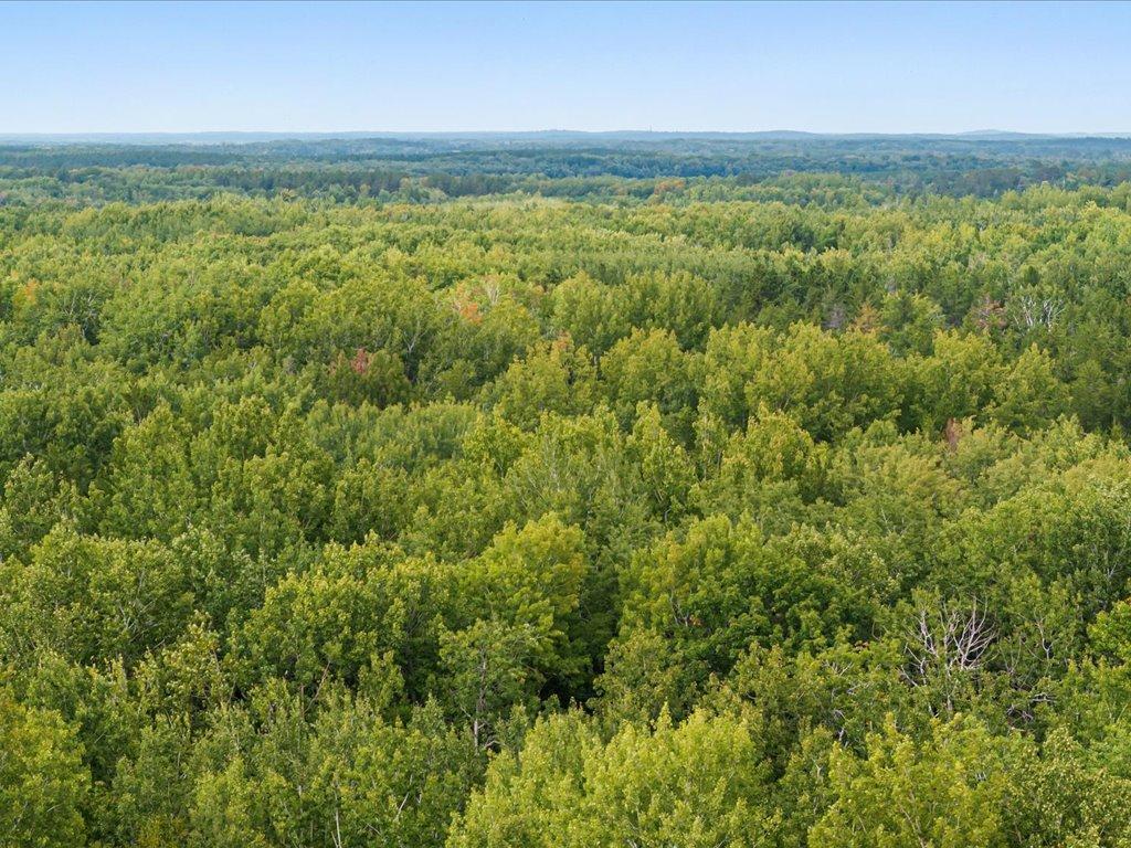
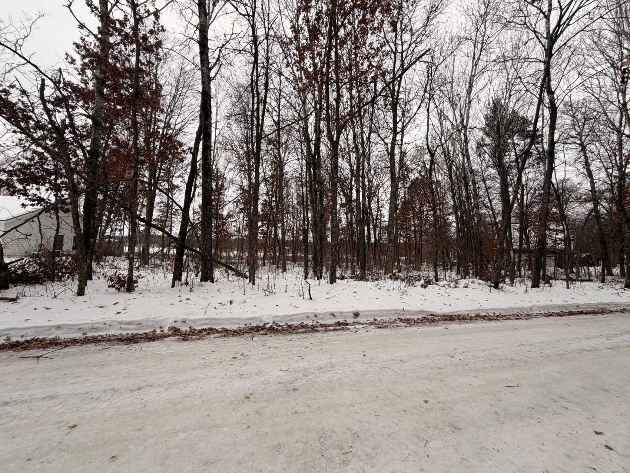
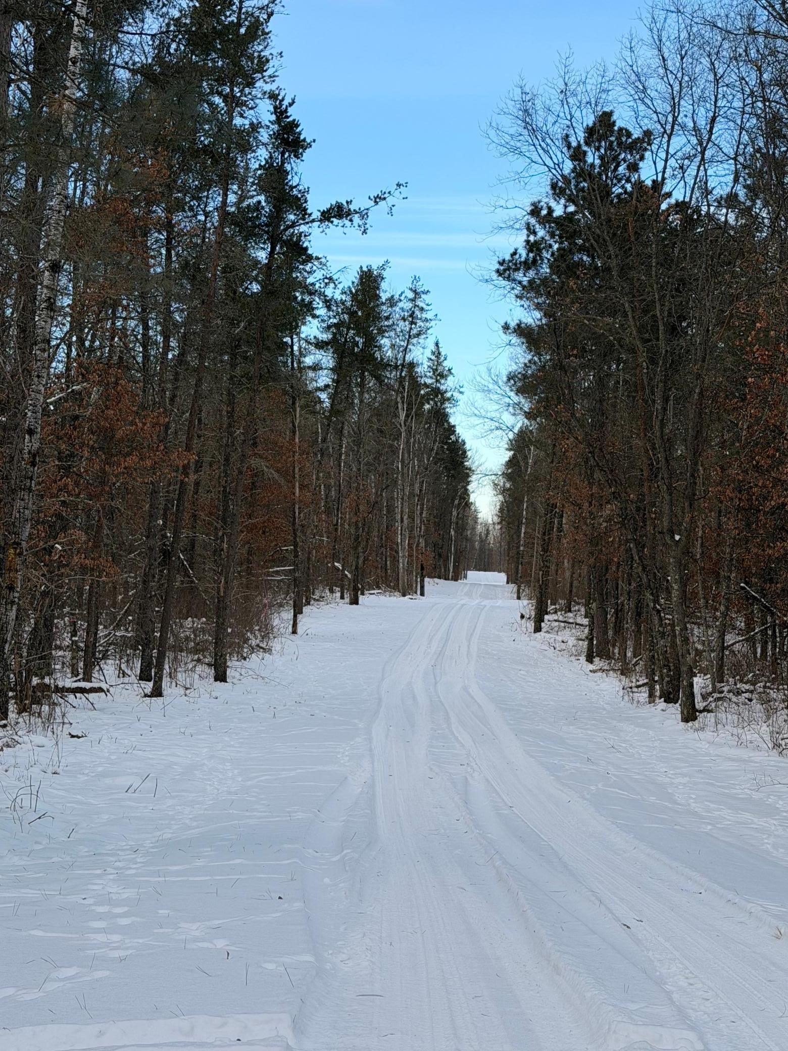
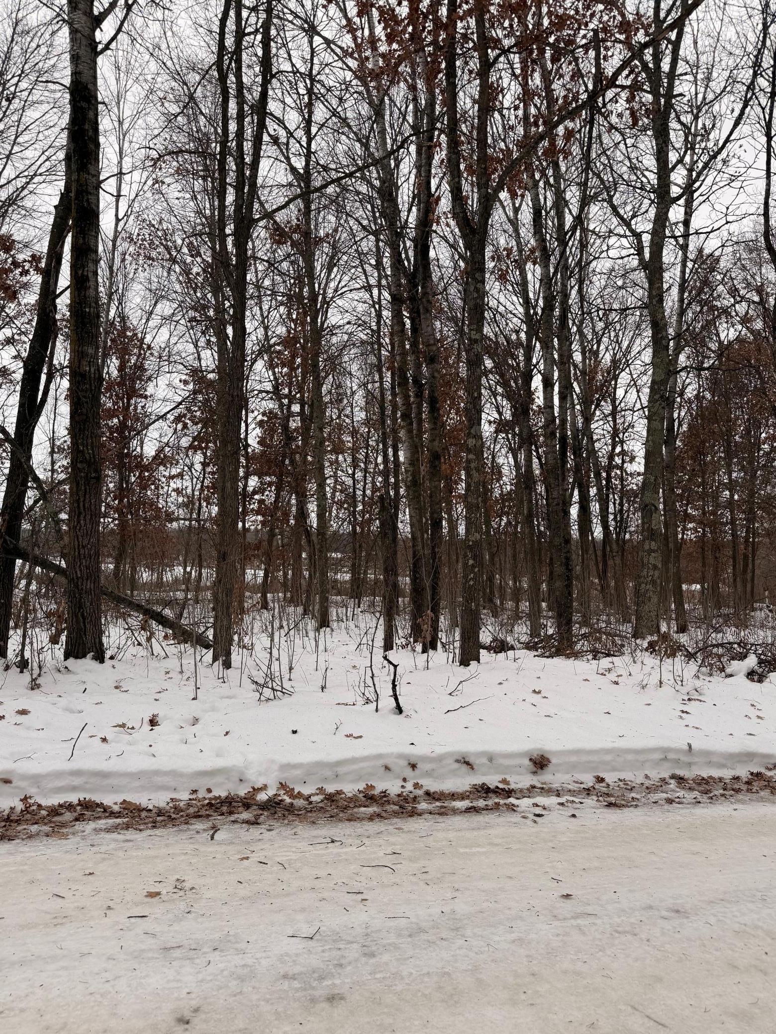
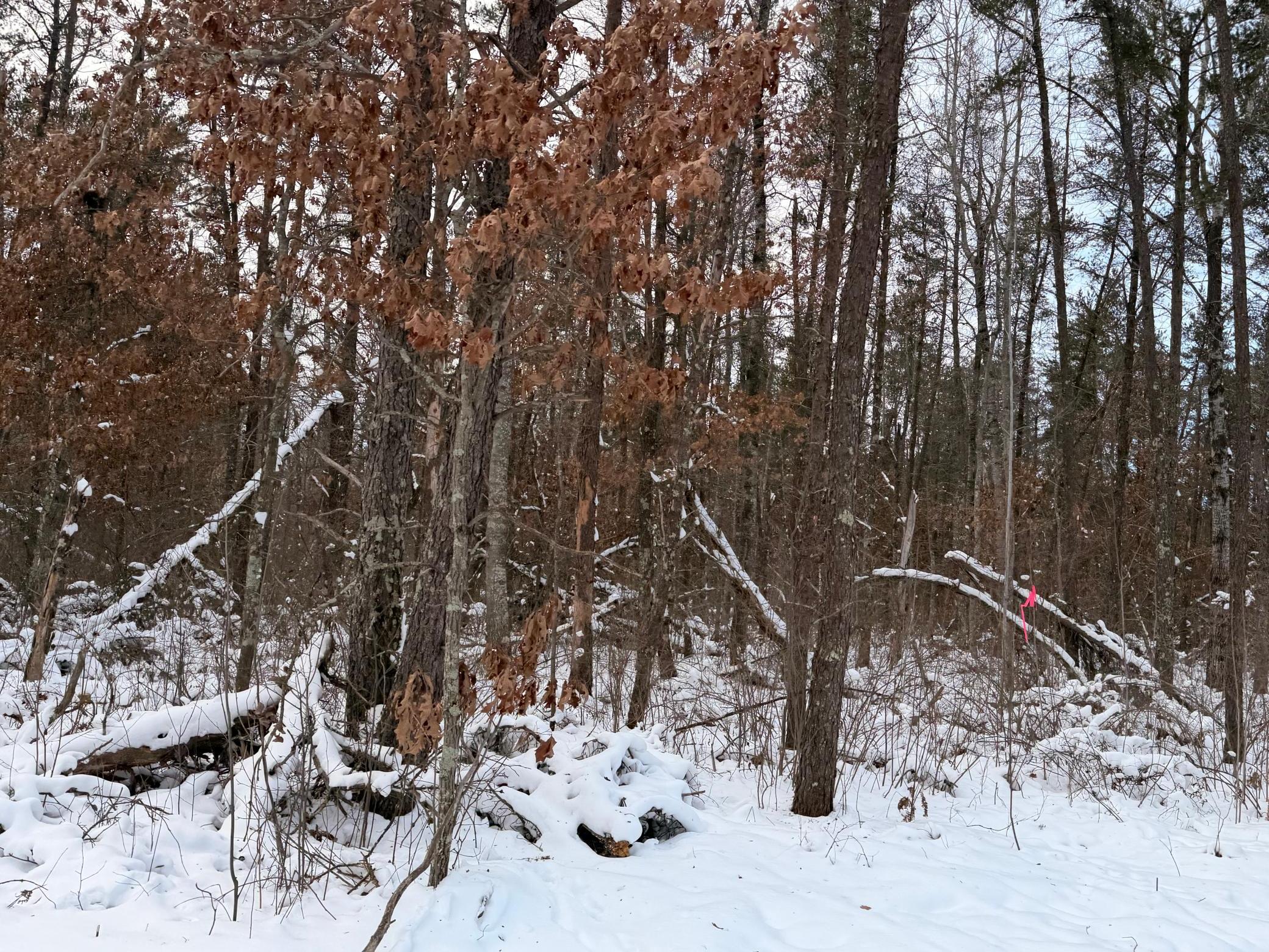
Enjoy the peace and privacy of this beautiful 10-acre wooded parcel near Horseshoe and Pelican Lakes. Tucked away on a quiet dead-end road, this property offers the perfect setting for your future home or cabin retreat. A natural mix of trees and open space gives you room to spread out while still feeling connected to the outdoors. Additional parcels are available if you are looking for even more space.
Last Updated: April - 28 - 2026
The data relating to real estate for sale on this web site comes in part from the Broker
Reciprocity SM Program of the Regional Multiple Listing Service of Minnesota, Inc. The information provided is deemed reliable but not guaranteed. Properties subject to prior sale, change or withdrawal.
©2024 Regional Multiple Listing Service of Minnesota, Inc All rights reserved.
 Rolow Alternatives (1).pdf ›